I spent a lot of my time there travelling between the capital city and several of the regions there. The most difficult of the trips by far was the one from Lusaka (the Capital) to Livingstone. We were on the road for about eight hours, leaving Lusaka early in the morning, and heading to the home of Victoria Falls, and Zambia's crown jewel of tourism. In the local language (there are 72 of them, so please don't ask me to specify which one), the name is Mosi-oa-Tunya: The Smoke which Thunders. When I say it that way, I hear a BIG voice in my head like a movie announcer...THE SMOKE WHICH THUNDERS! Being that Vic Falls is one of the largest waterfalls in the world, it just seems more appropriate that way.
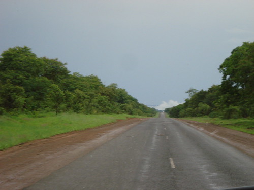
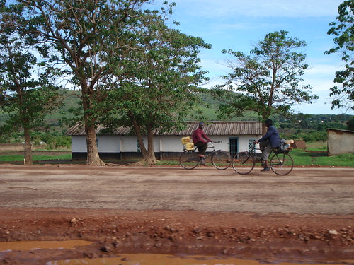 So the trip to Livingstone was LOOOOOONG. Like, really long. But at least my team and I were in a minibus, and there were no problems with flat tires, although that certainly would have been a possibility given the state of the roads. The scenery along the way was magnificent, with green, lush rolling hills, and dark, red earth against a soft, blue sky. The contrast in colors was striking. The road most of the way was decent, with not many potholes. But as we were about 100km outside of our destination, the quality of the road changed. The story goes that the road was originally built from donor funds (as is just about everything), and it used to be wonderfully paved and flat. As the years go by, there were no additional donor funds to maintain the road. With heavy rains every year and no restrictions on the weight of the trucks allowed to travel the roads, potholes form; and I mean BIG potholes:
 Add that to having no lines, and everyone driving on the wrong side of the road-- scratch that-- everyone driving all over the road and it makes for a very scary driving situation. Thankfully, our driver was Zambian and quite skilled in navigating the potholes in the road without problems, and we covered the last 100km in about 4 hours.
The Falls are aptly named as 'The Smoke which Thunders' since you can see the falls from miles and miles away, even though all you're actually seeing is the mist rising through the air. This was my first glimpse of it:
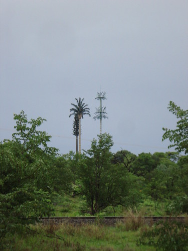
When we got into Livingstone, we drove into the area near the entrance of the falls. There seemed to be some trees that were "slightly" larger and a different species than all the others. I asked about them, and found out they're not trees at all! In fact, they were actually radio antennae!
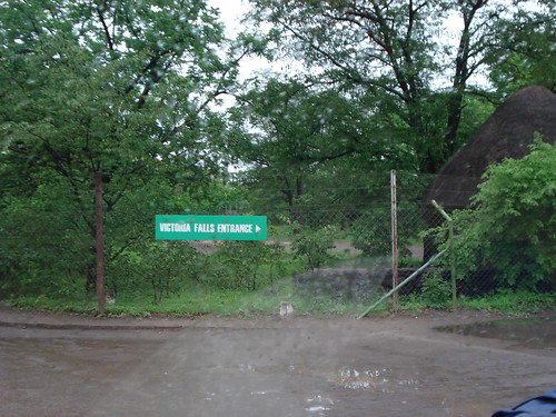 I took quite a few pictures of the falls, but I must apologize in advance for the poor quality of my pictures here. I discovered that with the increased moisture in the air, I had a hard time getting well-focused shots. This was the entrance to the falls, and I think that if you didn't know it was there, you just might almost miss it!
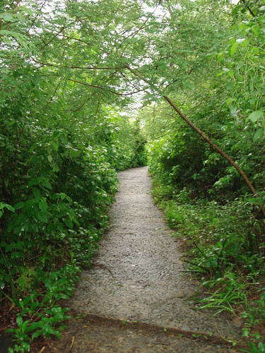 After you pay the inflated "foreigner price" of $10USD (not payable in local currency!!!!) they take down your passport information and let you in. The pathways are all made of small, slippery stones that are constantly wet from the moisture. I was terrified that I would slip and fall at any moment. As you can see, there were lots of rails for me to steady myself in case I felt I would fall. All the fear I had of falling on these pathways went out of my head when I saw my first glimpse of the falls themselves:
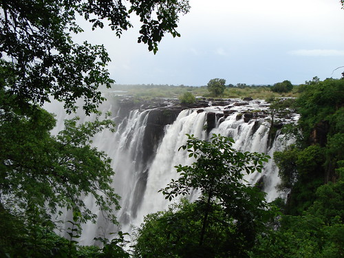 Gorgeous, isn't it? When it's at full capacity just after the rainy season, Vic Falls is the largest waterfall in the world. I must be careful when I say that though, because it is by far NOT the tallest. That titles belongs to Angel Falls in Venezuela, and Victoria here doesn't even make the top 10 of the world's tallest. But these falls are the BIGgest in that they are the widest with a width of 1 mile and a height of 360ft, they form the largest sheet of falling water on the planet. The whole of the falls is viewable straight on, and at the end of the rainy season, all the rocks you see in this picture are covered with massive amounts of gushing water from the runoff of all the other rivers in Zambia/Zimbabwe.
Here are a few more pictures that I took while I was walking around the falls trying not to slip:
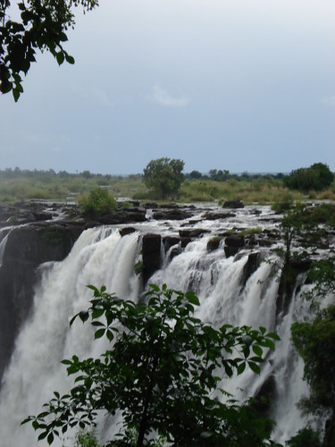

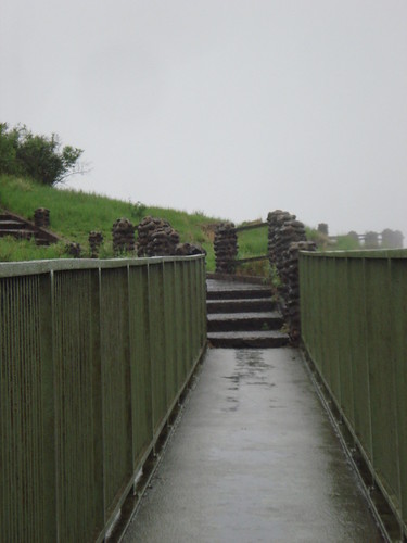 The slipperiest bridge in the world....
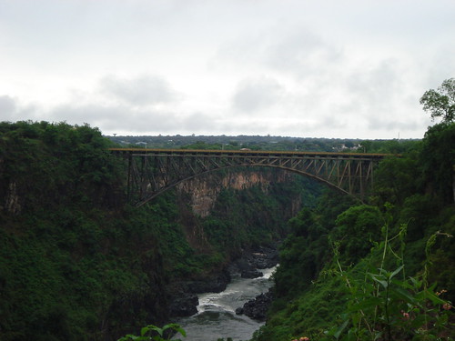 Bridge between Zambia and Zimbabwe
No comments:
Post a Comment